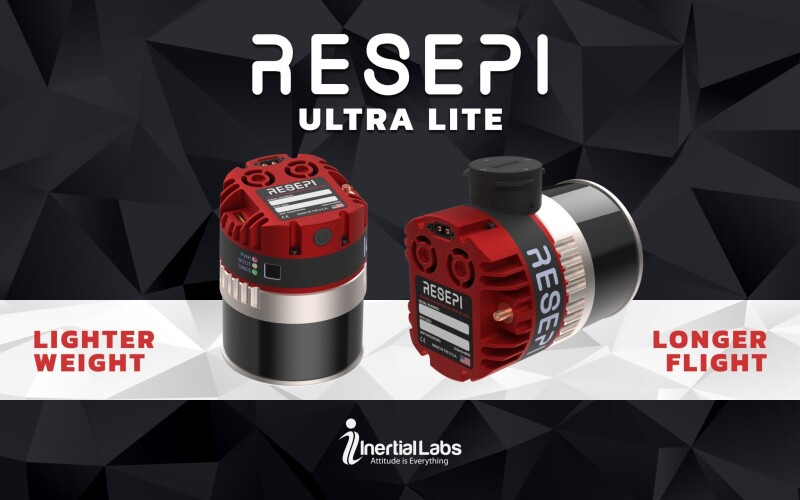
Paeonian Springs, VA | October 28, 2024 - Inertial Labs, a leader in position and orientation technology, is proud to introduce its latest innovation: the RESEPI Ultra LITE, the lightest complete payload to feature both LiDAR and camera technology. Designed with the needs of the modern surveyor in mind, the RESEPI Ultra LITE offers unparalleled ease of use, precision, and adaptability, making it an ideal tool for diverse mapping applications. At its core, the RESEPI Ultra LITE integrates the XT-32 LiDAR scanner, providing surveyors with top-tier data accuracy, a high point density, and the versatility to perform in various operational modes.
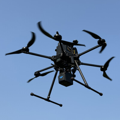
With a lightweight design for easy transport and deployment, the RESEPI Ultra LITE is compatible with numerous platforms, including Freefly, WISPR, DJI, Sony, and mobile setups. This seamless integration is achieved through Inertial Labs’ proprietary SnapFit adapters, which ensure rapid and secure mounting and dismounting. Cost-effective and entering the market at an MSRP pricing of $18,800 without compromising quality, the RESEPI Ultra LITE delivers on affordability, providing high value for professionals needing precision without exceeding budget constraints. Engineered for high accuracy and precision, the system underwent meticulous testing to refine timestamping and calibration methods, empowering users to capture data confidently.
Inertial Labs CEO Jamie Marraccini commented, “Inertial Labs has always aimed to push the boundaries of survey technology, and the RESEPI Ultra LITE exemplifies our commitment to delivering high-performance tools that don’t compromise on quality or value. Combining the lightest and most adaptable design with best-in-class precision empowers surveyors and 3D mapping professionals to capture data faster, easier, and more confidently.”
The RESEPI Ultra LITE’s compact configuration includes a 5MP colorization camera, making it an ideal solution for SUAS platforms with volume constraints requiring LiDAR and camera capabilities. It shines in aerial and ground-based applications, such as utility mapping (power lines), construction volumetrics, precision agriculture, forestry, site surveying, and mining. Built to enhance efficiency and accuracy, the RESEPI Ultra LITE is an affordable and robust solution providing high investment returns for 3D mapping and surveying professionals focused on cost efficiency and data quality.
About Inertial Labs
With over 20 years of industry experience, Inertial Labs is a leading designer, integrator, and manufacturer of cutting-edge Inertial Measurement Units (IMUs), GPS-aided inertial Navigation Systems (INSs), and Attitude and heading Reference Systems (AHRSs). Our team leverages highly accurate and temperature-calibrated MEMS gyroscopes and accelerometers to provide high-performing inertial solutions across many applications.
As experts in sensor fusion, Inertial Labs designs and develops quality products at the best price-performance ratio. Our team provides solutions capable of utilizing data from an array of sources, including air data computers (ADCs), ToF Mesh-Based Software-Defined Radios (SDRs), Visual Odometry, Air Speed Sensors, Odometers, Encoders, and Standalone Magnetic Compasses (SAMCs).
Inertial Labs is a lead developer of exciting technologies. Solutions include Inertial Sensing, Assured Position Navigation and Timing (APNT), GNSS Tracking, LiDAR Scanning, Alternative Navigation (ALTNAV), Visual Navigation, and Programmable Navigation Solutions.
Source: Inertial Labs


