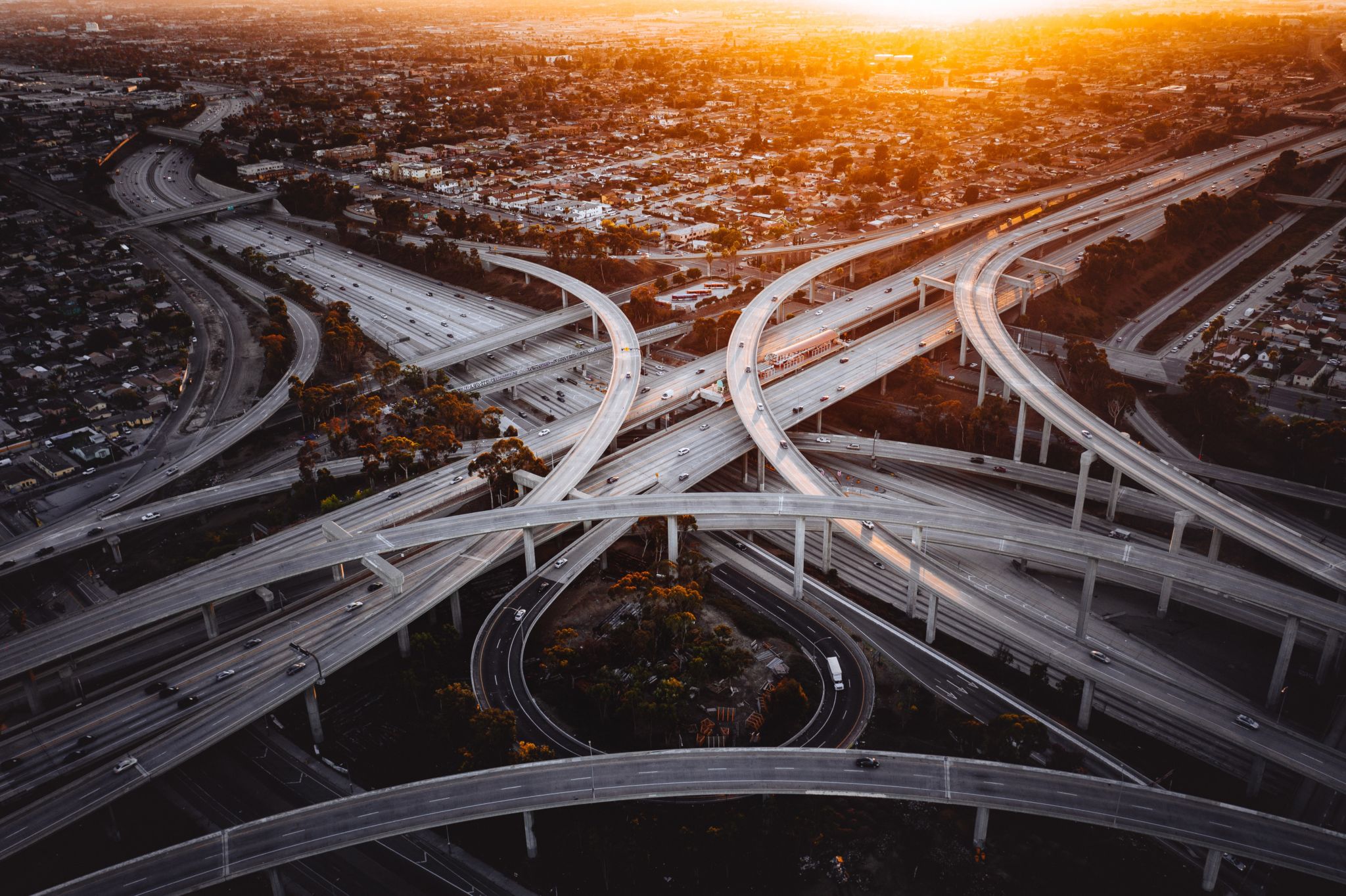
Departments of Transportation (DOTs) are responsible for maintaining the complex infrastructure, and face unique challenges due to both the scale and growing complexity of their work.
There may be a need to access steep of potentially dangerous terrain in order to adequately map features or gather data to support grading and design calculations. There may also be limits to time or resources when attempting to gather this information from less accessible places. And underpinning all of these situations is a core concern for worker safety – how can the data be gathered in a way that is not endangering the workforce in the field?
While these situations are sometimes covered by aircraft measurements and imagery, there are scenarios where geospatial professionals do not have time to respond to time-sensitive situations (e.g., during a slope failure or other critical repair need). They may also lack sufficient resources to charter aircraft or other speciality aerial mapping services.
There are now several different categories of readily deployable, small, and cost-effective 3D tools used by DOTs and infrastructure project, and they have their own sets of pros and cons. When is it appropriate to use a UAV? Should DOTs invest in 3D tools themselves, or contract to scanning-as-a-service providers? How can these tools assist in other areas like inspection?
Next week, SPAR 3D will host a panel webinar moderated by SPAR 3D Executive Editor Jeremiah Karpowicz that will address some of the new technologies, and their use in infrastructure and transportation. We hope you will join us for this real-world exploration of choosing “the right tool for the right job” – and how 3D technology fits in to that calculation. You can register here, or watch the archive a few days later on our webinar archive.
Webinar: How are DOT’s Using 3D Tools to Solve Infrastructure and Transportation Challenges?
- Nick Johnson – Chief of Project Management, Nevada Department of Transportation
- Kourosh Langari – Civil Engineer, Caltrans
- Sam Lytle – Owner/Founder, Civil FX
- Jennifer Wells – State Bridge Inspection Engineer, Minnesota Department of Transportation
Header image Denys Nevozhai on Unsplash


