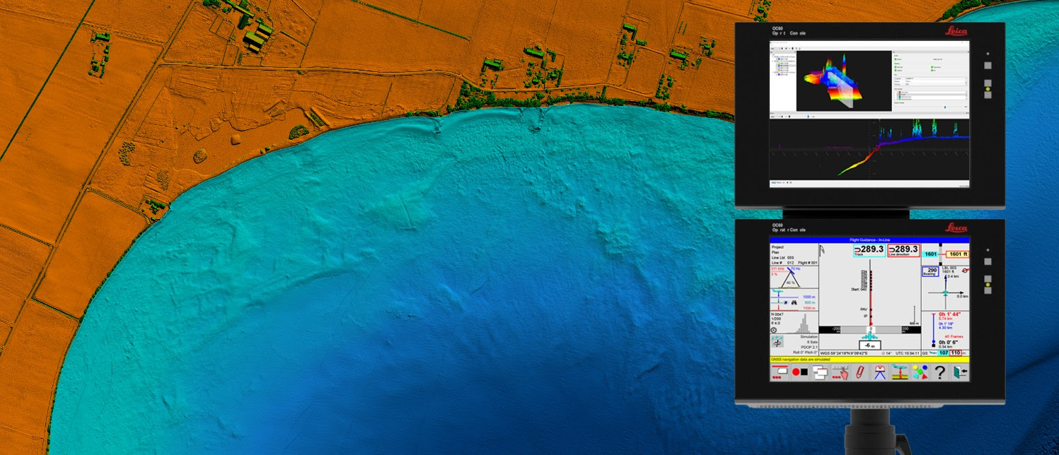
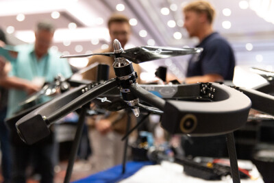
The integration of two Leica Chiroptera 4X bathymetric lidar sensors for maritime surveillance into Airbus’ Maritime Surveillance Aircraft opens up opportunities for applications where immediate access to the data is fundamental, such as clearing waterways, search and rescue, monitoring illegal activities and rapid mapping of coastlines to monitor storm damage.
The Chiroptera 4X system is an airborne LiDAR system that simultaneously collects bathymetric LiDAR data, topographic LiDAR data and high-resolution imagery. At a typical flying altitude and speed, the resolution is in the range of four points per square meter for bathymetric data and eight points per square meter for topographic data. The image resolution is about five centimeters in four bands (R, G, B and NIR). All data is georeferenced to a very high spatial accuracy.
 The sensor is an adaptation of Leica Geosystems’ standard Chiroptera 4X system that was specifically developed for Airbus and the Airbus C295 maritime surveillance aircraft. New features include data processing and data visualization in near real-time and an interface for the Airbus C295’s tactical mission system. This integration allows the end-user to visualize and analyze the data already in the aircraft whereas, with the standard Chiroptera 4X system, the data needs to be processed after the flight mission and is not available for analyses until several hours after the flight.
Real-time lidar data visualization and analysis
Hexagon’s new technology enables the detection of underwater objects in near real-time, a significant innovation in the airborne bathymetry industry. The cutting-edge solution was developed to meet Airbus’ requirements). The Irish Air Corps will be the first to utilize the new technology once both C295 MSA are equipped with the Chiroptera 4X LiDAR sensor and with the near real-time detection application. The aircraft are due for delivery to Ireland in Q2 2023.
The unique object detection feature enables real-time lidar data visualization and analysis during the flight. Being able to locate the precise position of the object allows operators to preview and analyze the information captured below water immediately, a process which previously could take up to several days.
Typical applications include searching for dropped containers or other objects that pose a danger for shipping; carrying out search and rescue operations in emergency situations at sea; monitoring illegal activities at sea; rapid mapping of coastlines to monitor damage and organize mitigation actions after storms. Very strong reasons for using a bathymetric lidar compared to other sensors are that the bathymetric lidar can operate both in daylight and night conditions, and also has the capability to collect data below the water surface.
Data processing and transfer
The solution enables near real-time object detection by presenting the survey data in 3D to the operators for analysis on board the aircraft almost instantaneously. The operator has multiple options to visualize the data in 3D and can report objects through the C295 tactical mission system with a very accurate location.
Data is processed in the Chiroptera 4X’s internal CPU using the real-time flight trajectory. Thereafter, data is immediately transferred to the C295 tactical mission system, where the data is visualized in 3D in the LSS airborne data viewer for analysis by an operator. The operator has multiple options for visualization and filtering and may also report objects through the C295 tactical mission system. After landing, the data can also be processed to a higher spatial accuracy using post-processed trajectories, for further detailed analysis.
As is the case for all bathymetric lidar systems, the depth penetration in the water volume depends on the water clarity of the survey area. The depth penetration of the Chiroptera system is typically in the range of 1.7 times the visibility in the water. The system can detect objects with IHO special order size of 1x1x1 meter or larger, including underwater topography, waterway obstructions, ships or shipwrecks, etcetera.


