It’s been well established that uncrewed aerial systems (UAVs) are great tools for surveying, mapping, and construction projects. Drone technology can improve safety and efficiency on job sites, and they can facilitate the collection of vast amounts of valuable information that helps professionals bring projects in on time and on budget.
But it’s also been well established that using a drone effectively is not always easy. Surveying & mapping professionals, construction site managers, and others need far more than just a Part 107 drone pilot license, a camera, and some data analysis software to benefit from all this technology has to offer.
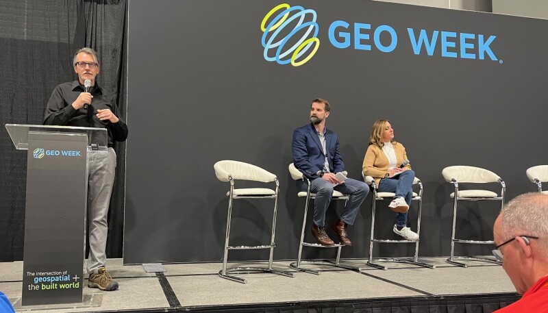
During the Geo Week session “Getting Off the Ground with UAV Survey,” experts from the construction industry, surveying & mapping sector, and regulatory word offered their insights and perspectives on how to get started with UAV survey projects. Moderated by Christian Stallings, Vice President of BAAM.Tech, the session looked at the need for centralized data collection and analysis, the challenges of operating drones beyond visual line of sight (BVLOS), and much more.
To illustrate the problems and potential of drone technology, Vanessa Miller, from the leading Texas-based construction firm Rogers O'Brien, led off the session by discussing the challenges of integrating reality capture technology into construction workflows, including manpower and accessibility issues. She also highlighted the importance of having a central location for all captured data to ensure accuracy and ease of use, and she proposed creating a mission control for all captured data to make it easily accessible and indexed for end users.
Based on her company’s experience using drones coupled with sophisticated sensors and cameras on construction project, Miller presented a few “critical requirements for end users.” First, she said, “You need easily automated, consistent data.” Automated systems, she asserted, would address manpower issues, ensure that accurate, useable data is being captured, “catch potential issues with quality control or safety.”
Miller also emphasized the importance of “progress tracking.” On Rogers O’Brien jobs, she explained, contractors use a “percent complete” approach to tracking progress that “creates data credibility, creates measurable results and improves the relationship between all these parties.”
Finally, Miller said professionals on job sites need a “single source of truth.” She said that all data captured on a job should be stored “all in one place” and accessible through a dashboard. “Having all that information in an index,” she said, is “the future of construction.”
Next, Rob Knochenhauer, Director of Regulatory Affairs at Censys Technologies, explained the necessity—and the complexity—of obtaining proper regulatory authority to fly commercial drone operations. In his role at Censys, Knochenhauer helps companies navigate the changing, often complex regulatory environment around commercial drones.
“Basically,” he reported, “you're limited to operate your aircraft no higher than 400 feet. You have to keep your aircraft within line of sight when you operate it. You're not allowed to operate over people.”
Given those parameters, Knochenhauer explained one of the biggest challenges for drone operators is to receive waivers from the Federal Aviation Administration (FAA) to fly beyond visual line of sight or “BVLOS.” Obtaining these waivers, he explained allow operators to more and for longer with drones, which increases the efficiency and effectiveness of many operations. Assessing the needs of the Geo Week audience, Knochenhauer offered practical advice on the waiver process and suggested ways companies can work with regulators to expand their operations.
The session concluded with a lively panel discussion, during which Stallings, Miller, and Knochenhauer discussed using drones for 3D modeling, the potential for video game-like interfaces to make it easier for novice users to navigate large amounts of data, the need for continuous learning and adaptability, and the importance of standardization and collaboration in data management.


.jpg.small.400x400.jpg)
