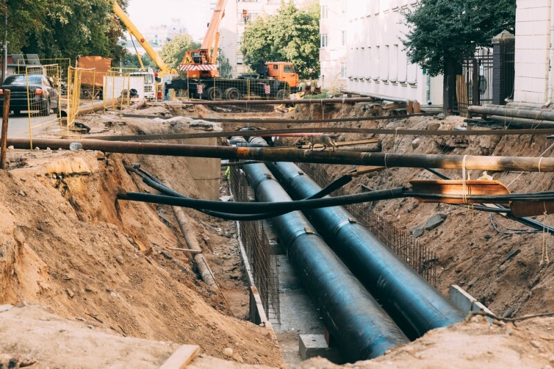
One of the most startling facts about the AEC industry, particularly for civil projects, is the sheer number of potentially dangerous strikes of important utilities while digging. Thanks in large part to inaccurate maps of our subterranean utilities, it’s said that there is anywhere from 400,000 to 800,000 utility strikes per year in the United States alone. That comes out to at least one every minute. While not every strike is created equally, there are significant consequences to many of these strikes, ranging from outages for those in the area to much more harrowing effects resulting in injury or even death to both workers and civilians in the area.
This issue is well-known throughout the industry, and major strides have been made in recent years in mitigating these concerns and producing better maps for these projects. A lot of this progress is thanks to emerging technologies that have transformed the way surveys are done prior to projects, and the innovation is continuing. Over the last couple of years, for example, artificial intelligence has changed the way work is done across many industries, and there is one company in particular that has long thought it can be used to give us a better understanding of the utilities beneath the ground.
That company, Exodigo, has been working on this problem by utilizing AI since before this current boom, as Geo Week News covered in the company’s early days in mid-2022. Recently, we spoke with Exodigo co-founder and CEO Jeremy Suard about how the company is leveraging AI to produce comprehensive maps of the underground, and how this AI boom has helped move that progress forward.
Suard puts Exodigo into a different category than most providers of underground location data, saying that the “status quo companies” find roughly 80 percent of underground utilities while they find “way closer to 100 percent.” They do this with a three-pronged approach, all leaning on some form of artificial intelligence or computer vision.
To start, they use a crawler to run through every possible written record of an area from the internet to create a base map of what’s on record. Suard acknowledges, as noted above, that the records are not super accurate, but that baseline information is necessary to create the true map. After that, they lean on computer vision to go through the previous 10 years of Google Street View data, looking for things like paint on the ground, cracks in asphalt, or anything else that could indicate something is buried. Suard says it’s “like calling 811 repeatedly over 10 years.”
Finally, once all of this information is compiled, they go out into the field with their hardware to complete full scans of the project’s area. They have a few different options for completing these scans – their handcart and car systems are the most popular, and Exodigo also offers a drone service for more rural areas and backpacks for areas that are walkable but not suitable for a handcart – which are done in tight grids to cover the entire area.
These scans, which Exodigo refers to as being like “combining an MRI, CT scan, and ultrasound into a single source of truth,” leans on AI to combine data from multiple types of sensors into one map. Like most surveys of this kind, it relies on ground-penetrating radar (GPR), but also borrows from mining technology to use electromagnetic and magnetic sensors as well as metal detectors and a high-resolution camera. Additionally, they use lidar systems on iPhones to capture manholes in a given area.
All of these methods combined, Suard says, allows them to find potential utilities that more traditional surveys would not thanks to picking up lines that don’t have records or a “visual hint of their existence.” Between the different sensors picking up materials that traditional GPR wouldn’t, or utilities that are too deep for a single sensor, and the AI leveraged in just scouring records picking up more than any human possible good, it’s really just about knowing where to start in finding a line.
What’s perhaps most interesting about Exodigo in the context of where not just AEC but every industry is today is how they are thinking about AI. As noted at the top, they’ve been leveraging some form of AI since their founding, which was before this current boom around the technology. The artificial intelligence used to create a map out of the data coming from the system of sensors on the hardware is proprietary, for example, and was in place before this current boom.
Even so, they are still benefiting from the boom and have changed since Geo Week News last checked in. Most notable among those improvements, Suard says, is the process of crawling through as-built and design records for these utilities. A human couldn’t possibly parse through all of the available data to find every relevant record, but thanks to improvements in large language models this can now be done automatically. Additionally, Suard says leaps in computer vision have allowed them to start capturing manholes with iPhone lidar.
“What we’re doing is we’re trying computer vision models to take lidar of the manhole and do the engineering-grade survey of the manhole instead of us doing it manually.”
The danger around our lack of knowledge is still a significant one, but leaps in technology are helping to make the area safer. For Exodigo, they believe that AI is the key to getting that understanding, and Suard says it’s all about knowing where to look.
“Even if you want to just dig a lot, where do you dig if you don’t have a hunt that there’s something here? It’s like a game of Battleship.”


