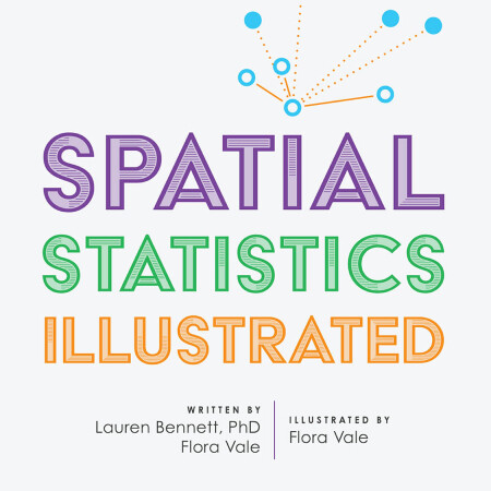
Spatial Statistics Illustrated is a new title from Esri Press that serves as an introduction to the field of spatial statistics. The authors chose a conversational style over an academic tone that can be read as a supplement to traditional, technical texts. Because spatial statistics and analysis are very visual by themselves, the complex tools and ideas behind spatial statistics are explained through visuals, which explains the book title.
The authors intended to introduce the most widely used spatial statistics tools to GIS users or students. Apart from describing these tools, they show how they work and explain when to use a specific tool. This helps readers explore data in meaningful ways with ArcGIS’ spatial statistics tools to quantify patterns, understand trends, and make data-driven, informed decisions. The book has been written by Dr. Lauren Bennett and Flora Vale, who also illustrated the book. Dr. Lauren Bennett leads the Spatial Analysis and Data Science product engineering team at Esri, and Flora Vale is a product engineer on Esri’s Spatial Analysis and Data Science team.
Contents
The book counts 176 pages and contains six chapters. It starts by defining the concept of spatial relationships, before exploring different types of spatial statistics tools available through ArcGIS Pro. Users of ArcGIS Pro will probably be familiar with the spatial statistics tools, consisting of a large collection of script tools that are divided into five subsets: the first subset is for analyzing patterns, the second one for mapping clusters, the third one for measuring geographic distributions, the fourth one for modeling spatial relations, while the utilities toolset perform a variety of data conversion tasks.
The authors chose to cover the most widely used tools, so the book does not give a complete overview of the entire spatial statistics toolset. These include tools to find clusters, analyze them, model spatial relationships and make predictions, among others. Because this is an introductory book, the authors chose to leave out complex formulas that form part of the spatial statistics tools covered here. The book is available in paperback and ebook format. The Esri Press website, linked above, offers free downloads of the book’s table of contents and sample pages.
A short publication such as this is very welcome in the age of data science, where spatial data is analyzed to discover spatial relationships. Using any of Pro’s spatial statistics tools requires the user to have an understanding of the data at hand, as well as the problem that needs to be solved and how to interpret the results of the tool. Using these tools is not as straightforward as day-to-day data management tools, also because they rely on many different parameters that need to be set by the user, which requires knowledge of different statistical models and metrics from the user. An introductory text that makes such complex tooling more widely accessible will help to spread the word about the possibilities of GIS technology.


