After joining the Overture Maps Foundation in 2023, Esri helped integrate open data from authoritative sources into the Overture ecosystem in various ways. Recently, the company shared its plans for integrating data from Overture into its ArcGIS system. This announcement followed multiple releases from Overture regarding data schemes, themes, and several data sets.
A new Open Basemap built with Overture Maps data
Esri contributed to all these and made plans to integrate Overture data into existing and new content offerings. The first Esri offering including Overture data will be a new Open Basemap built with Overture Maps data. This is a vector tile base map including layers of Overture data themes. These are specified as transportation, buildings, places, and admins.
This Open Basemap will be released in beta later this year and updated monthly with each Overture data release. It will replace Esri’s current OpenStreetMap Vector Basemap which will not be updated after December 2024. Esri will also use Overture data to update parts of its Esri Vector Basemap. Depending on the geographical area, one or more layers will be updated.
Updated 3D basemaps with Overture data
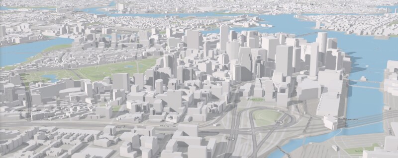
Esri has introduced 3D basemaps in 2023, including in ArcGIS Pro. These are global reference maps that provide context to local spatial data. Existing 3D Basemaps in Esri’s basemap gallery will be updated with Overture maps data including buildings, trees, and place labels. These data are the result of collaborative efforts with other Overture members.
The Overture Maps data used for updating 3D base maps is also made available as 3D scene layers and a new 3D Buildings scene layer is currently in beta release. The Esri 3D Buildings scene layer is an alternative to the OpenStreetMap (OSM) 3D Buildings scene layer, particularly for areas where the OSM data is missing accurate 3D attributes. Scene layers are optimized for displaying large amounts of 3D data in a scene.
Accessing Overture Maps data with ArcGIS Online and ArcGIS Enterprise
The new base maps and scene layers are for visualization purposes only and do not provide data for spatial analysis. Feature layers in desktop GIS or online hosted feature layers differ from basemaps, as they provide GIS map features ready for querying, visualization, and editing.
Esri anticipates that organizations will publish Overture data as hosted feature layers in ArcGIS Online and ArcGIS Enterprise, and use it for data enrichment and spatial analysis. Esri will provide access to Overture data in cloud storage environments to access it in ArcGIS software and publish Overture data as hosted feature layers for some popular data themes and areas of interest. Users can also host their own hosted feature layers for their areas of interest.
Resource: Overture Maps in ArcgGIS


