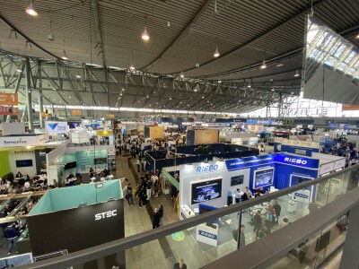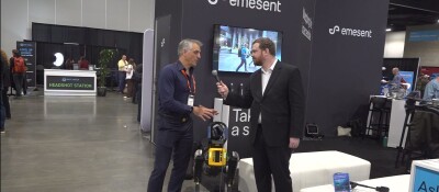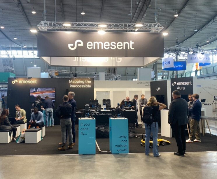
This week marks the annual Intergeo conference, a major geospatial conference held each autumn in Germany, with this year’s event being held in the city of Stuttgart. Geo Week News is in attendance this year and is taking the opportunity to check out a variety of companies exhibiting at this year’s show. This year, that includes lidar mapping and autonomy company Emesent. Geo Week News had the opportunity to speak with Stefan Hrabar, the company’s co-founder and Chief Strategy Officer.
Emesent had a few different products to show off at this year’s Intergeo, generally revolving around their RTK portfolio for their Hovermap series. These products, as Hrabar notes, serve to eliminate drift that can occur with SLAM-based scanning. That includes their drone RTK, which was the first to be added to their portfolio. Even there, however, there was new development as he shared Emesent has now integrated the RTK sensor with the American-made Freefly Astro drone in addition to the DJI M300 and M350 UAVs.
More recently added to the RTK portfolio has been the vehicle-mounted system, which debuted earlier this year, and the backpack RTK, which was just introduced this week at Intergeo. Hrabar notes that these Hovermap systems are modular as well, and demonstrated the ability to be clipped on and off of the various modes of transport. He says that AEC and mapping professionals use these RTK products, with the backpack giving the opportunity complete scans that include indoor and outdoor portions.
Along with the RTK products, Hrabar also talked a bit about the company’s processing software, Aura, which comes included with all Hovermap products. The software is desktop-based and provides a path for users to process, visualize, and analyze their colorized point cloud data within a single platform. He also points out that users are able to automate their georeferencing and complete their scans without having to place and georeference ground control point, with Aura leveraging RTK and SLAM for optimized results.