The Earth Observation (EO) space is largely focused on government and intelligence operations—and for good reason. These fields need extensive and comprehensive data about our planet to perform a wide variety of tasks, including anticipating and responding to natural disasters, monitoring facilities, and keeping people and property secure. Detailed, comprehensive information derived from satellites (or from newer technologies) is essential to the safe and orderly functioning of our world.
While the value EO offers to government and intelligence work is clear, what’s less well understood is how EO can help private companies. At present, companies working in fields such as energy and utilities, insurance, and infrastructure use EO in their work, but the use is not widespread. As noted in a Payload article, “EO insiders estimate today’s market consists of about 50% US government, 25% allied government, and 25% commercial.”
That commercial percentage is sure to grow as more and more opportunities become available through growth and advancements in the EO sector. According to a recent Deloitte report, “the economic opportunity afforded by Earth observation (EO) insights is projected to surpass $700 billion” by 2030.” Stating that EO “allows us to make better decisions with better data,” the report stated that the value derived from this improved data “productivity increases and cost avoidance which both yield economic value-added.”
The many industries that are currently benefitting from EO include agriculture, which uses satellite data to inform planting and harvesting decisions and reduce harmful emissions, and utilities, where EO information helps with site selection and infrastructure management. In addition, EO is helping insurance companies better assess risks, mining and energy operations monitor extraction and transmission work, and transportation companies track shipments and manage supply chains.
There are many real-world examples of companies that are currently tapping into these resources to increase efficiency and boost profitability. In the utilities sector, Satelytics and Georgia Power are collaborating on a project that uses “advanced AI-powered geospatial analytics monitor and safeguard the health of lakes and reservoirs that constitute the organization’s hydroelectric system.” As reported earlier this year in Geo Week News, the effort involves the analysis of satellite-derived images to find areas that may cause problems for the system. Through the effort, the partners are “able to pinpoint subtle differences in terrain, vegetation, and building structure, and instantly bring these to Georgia Power's attention for remediation.”
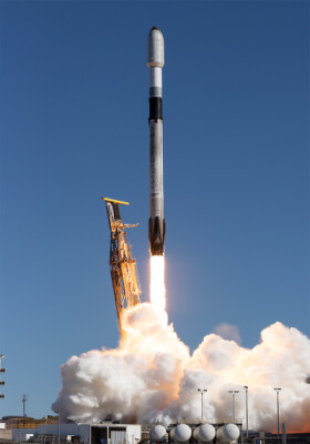
Building on successful efforts like the one described above, other firms are looking to expand and improve the ways EO can help businesses. Earlier this year, for example, NUVIEW became the first company to launch a satellite with lidar. In May, NUVIEW announced its plan to create a commercial lidar satellite constellation aimed at mapping the entire land surface of the Earth in 3D on an annual basis. Enthusiasm for the project has gained NUVIEW $1.2 billion in letters of intent and data purchase option agreements
Also helping boost the adoption of EO in the private sector is an effort by the EO company Satellogic to release a large dataset of high-resolution satellite imagery from its archive. In May, the company released six million images of three million unique locations from a variety of areas all around the world. Available on Hugging Face, these images were made available under a license that allows for commercial use with attribution.
Looking ahead, artificial intelligence (AI) could spur even greater adoption of EO in the commercial sector. Throughout the EO world, efforts are underway to adapt AI to parse EO data and make it more accessible to industries that are new to the space.
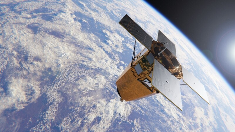
One of the most intriguing efforts in this area comes from the European Space Agency (ESA), which recently launched its Φsat-2 satellite. Equipped with a multispectral camera and an AI computer to analyze and process imagery onboard, the satellite can “turn images into maps, detect clouds in the images, classify them and provide insight into cloud distribution, detect and classify vessels, compress images on board and reconstruct them in the ground reducing the download time, spot anomalies in marine ecosystems and detect wildfires.” This effort, the ESA stated, could greatly benefit governments, researchers, and businesses.