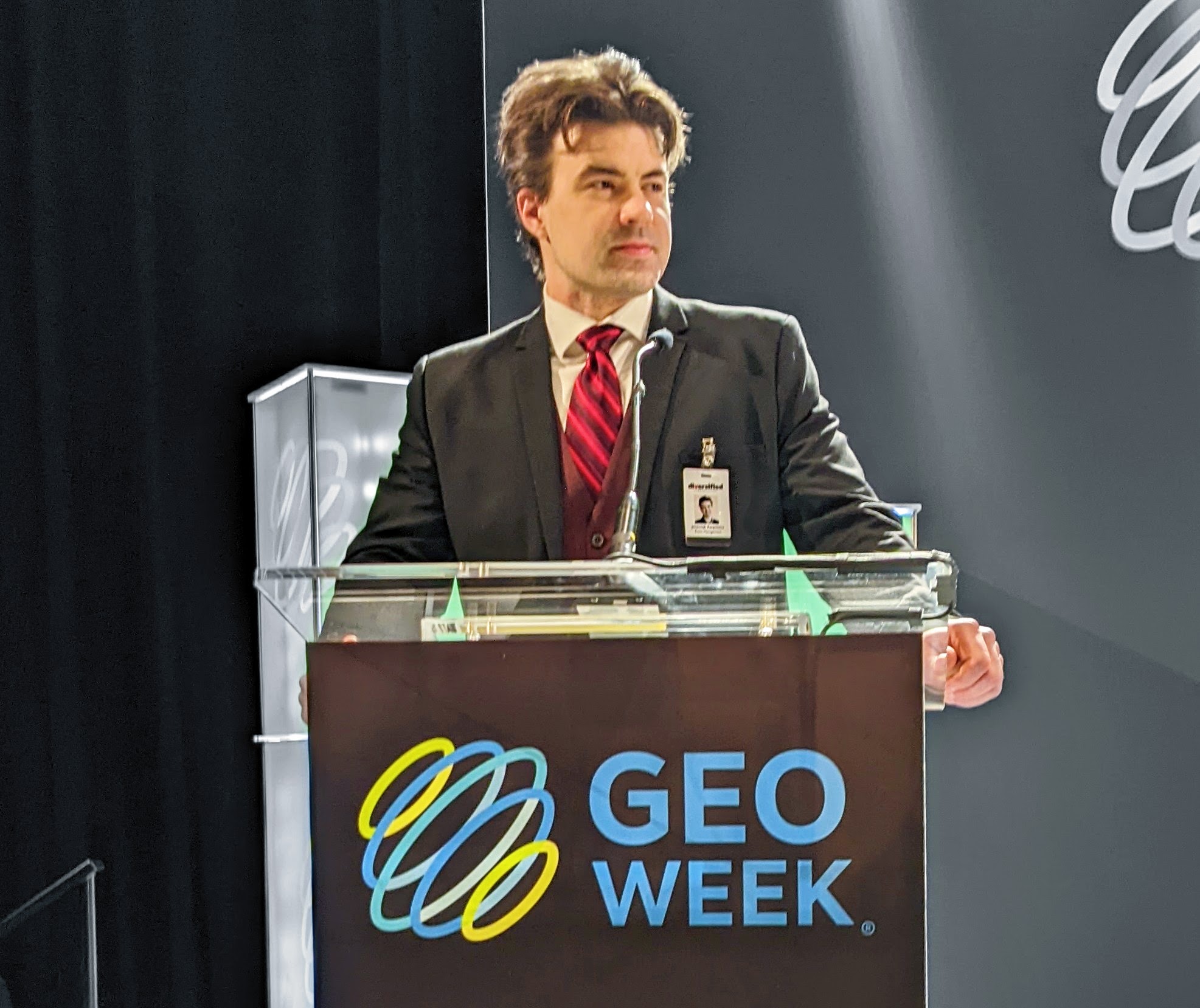
GeoBuiz Summit is an annual international conference focused on the geospatial industry, pulling together the people and technologies that are making a difference across various sectors and to countless organizations. In years past, the event has highlighted how geospatial data will define the fourth industrial revolution, but this year, that revolution was more about an evolution around collective collaboration and user expectations. The CEOs of some of the biggest companies in the space were on hand to share their perspectives on what it means to drive productivity and the market economy for the entire geospatial ecosystem.
A major theme of the event was around how sensors and services are driving the geospatial economy, and none other than Jack Dangermond, President at Esri, was on hand to detail how he thinks of both. He shared how he sees these concepts being tied to the power of “where,” as well as creating a platform of truth that compels action.
“Real-time sensing can enable real-time action, and we saw that in a big way with COVID,” said Dangermond, referencing the COVID-19 dashboard that nearly half the world's population has seen at one time or another. “That was all about using sensors to compel action, and those sensors can power a new system for managing the planet.”
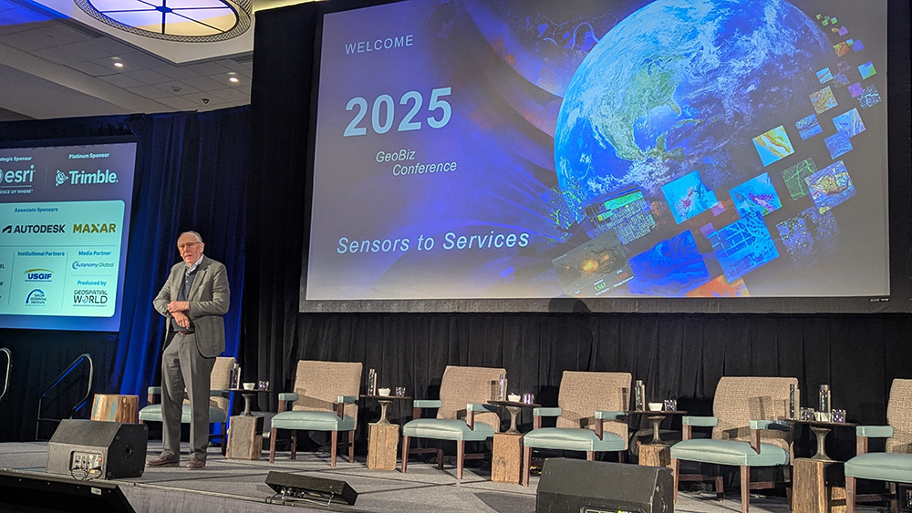
Managing resources at the highest level possible is something Dangermond has talked about in-depth in the content of a geographic approach that can be at the center of sustainability, understanding, and action. While this approach has demonstrated tangible benefits today, its full impact will unfold over the coming years and decades.
For Trimble CEO Rob Painter, sensors and services need to be connected to impact, which is something the company is focused on with the creation of tools that enable customers to work faster, safer, and greener. He touched on the company’s established effort to enable more seamless integration between Trimble solutions that are based on real-time data.
That seamless integration between hardware and software directly supports faster, safer, and greener workflows, but it’s an approach that is also reflected on the services side. By offering their hardware and software as a service, Trimble has made their tools accessible to a market that was previously excluded due to cost or logistics. The company has made a concerted effort to empower users in different ways, which stems from Painter’s focus on innovation, partnerships, and community. That community piece connects back to the concept of empowering a whole different set of users.
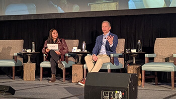
“We know we have a shortcoming of professionals coming into this industry,” Painter said. “We stand on the shoulders of the people who came before, and that’s why it’s our responsibility to grow the next generation. We’re all part of this collective mission that creates opportunities for everyone.”
For Harold Goddijn, CEO at TomTom, that collective mission is one that has evolved in a major way. He talked about how the company has its roots in personal digital assistants, which would be the baseline for devices that became synonymous with navigation. At the time, some thought this sort of navigation would be built into cars themselves, but breakthroughs no one saw coming would go on to provide 125+ million drivers with their technology. All of it stemmed from a realization of what it meant to solve a real problem for consumers.
That breakthrough would end up being disrupted when navigation turned into a free service. Today, the company is still selling navigation products, but they’ve moved on to more of a focus on data delivery and ride-hailing where a comprehensive understanding of the network is required. The tools they’re using have evolved, but the lessons learned along the way are guiding how they’re looking at what’s next for the company and the entire geospatial industry.
“In the early days, the routing was quite primitive, which is why we allowed customers and consumers to share the maps and improve them,” Goddijn said. “The collective collaboration around that info really made a difference. We adopted and changed how we think about data, and that’s why we have a more open system to enable collaboration. We’re one of the founders of the Overture Map Foundation. We see it as our role to harmonize that data and augment it with new types of information that the market is asking for. No single company can map it all on their own.”
That importance of collaboration was a major theme of the event and it was one that Maxar CEO Dan Smoot further echoed. The space technology company that makes satellites and spacecraft components, and provides geospatial services, has created an unmatched value chain of sensors and services. While they have a long history of providing foundational mapping products, the evolving needs of their customers, who require faster and more agile solutions, have compelled them to undergo a transformation.
Smoot elaborated on that transformation both in terms of technology but also expectation, as he’s heard from customers who say they don't want to buy a whole set of data for one piece of info. Some of that impacted investment in the Maxar Geospatial Platform (MGP) Pro, which gives users on-demand access to high-resolution satellite imagery and analytics to not only retrieve specific info but also task teams accordingly. The speed and dexterity of being able to do so in a single place has become more of an expectation than a request.
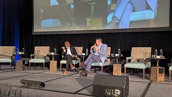
"Being able to productize these capabilities is key for us, and the needs around change detection are driving much of it,” Smoot said. “Think about what imagery can do when you’re covering an asset from different views, at different points in the day. With that extra info, you’re opening up new expectations around predictability and safety. That might mean layering in a different set of data, but we know we can solve more together, so we’re working through how can we extend our individual ecosystem not just in terms of customer capabilities but also in terms of what we can build into our products.”
Each CEO highlighted their proactive role in driving the creation and evolution of products with a higher degree of interconnectedness than ever. Although the advantages of this approach can be seen in products from each individual company, these connections are ultimately about addressing the needs of users on a more holistic level, whose ever-changing demands are connected to the health and growth of the entire geospatial ecosystem.

