One of the biggest trends that we’ve been discussing over the last year or two, particularly when it comes to the AEC industry, is the converging of major tools. For years, the industry was catching up to the technological capabilities, with numerous tools being developed for different situations. It helped streamline much of the industry but created new problems with siloed solutions that were difficult to work with. Now, we’re seeing better connections between solutions, whether it be through integrations, partnerships, or acquisitions.
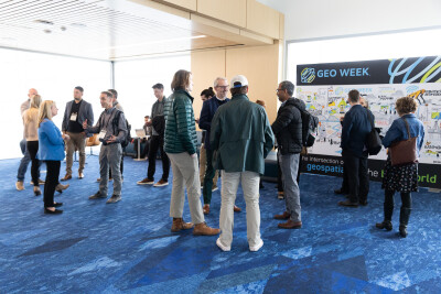
This was evident throughout the exhibit hall floor at Geo Week 2025, with one of the major examples being between Esri and Autodesk. While these aren’t entirely unrelated companies – of course, engineering projects often need some aspect of GIS – for most of recent history the solutions would be largely disconnected and utilized by different team members with varying levels of communication. Now, the two companies co-exhibited for the event, with attendees having a chance to see demonstrations of how the softwares “play” with each other.
Geo Week News was fortunate enough to receive one of these demonstrations as well, with Autodesk’s John Sayre showing how civil engineers working on road projects with lidar data can utilize this integration. Something he said right off the top of the demonstration really stood out and set the stage for how the entire integration works.
He said, “This workflow we’re talking about, we talk about BIM to GIS, right? But really, it can almost be GIS to BIM to GIS, because that is really the workflow that happens.”
Sayre then ran through some of the key capabilities unlocked by this integration, particularly around feature extraction and management. He showcased how a user can take the point cloud data of an area and pull out linear features like pavement edges, curbs, walls, and more, all while maintaining the horizontal and vertical data throughout the process.
Now, engineers can work with precise linear features that generate lightweight surfaces in Civil3D. This transformation maintains accuracy while dramatically improving system performance, allowing for quick analysis of critical elements like drainage patterns and elevation changes. The information can then, among other options, be published to ArcGIS Online, where other team members can either access it through the map viewer or bring it back into Autodesk for further design work.
These kinds of integrations are really what make large-scale projects function efficiently in today’s environment, and they are what make a show like Geo Week so special. For this example, we have two of the largest companies in their respective industry coming together for a cohesive solution, which attendees were fortune enough to see first-hand.


