The geospatial industry has a rich history dating back anywhere from a couple of centuries to all the way to ancient times, depending on your definition. Despite surveying – one of the cores of the broader industry – being around in some form for thousands of years, it’s also among the most innovative sectors. With a thirst to constantly embrace new technologies to simplify workflows and/or open up new potential work areas, the overall geospatial industry has seen tremendous growth over the last decade or so, a trend that only figures to continue moving forward.
Trimble, as one of the biggest and most influential companies in the space, is in a unique position to hone in on where the industry is today and where it is going given their massive and diverse customer base, which spans industries and companies of all sizes. Thus, it makes sense that they would be in a strong position to articulate what exactly the state of this industry is today.
That’s exactly what they did earlier this summer with the late-June release of their State of the Global Geospatial Industry 2024 whitepaper. The free, downloadable report can be found here, and was compiled by what Trimble calls a “comprehensive survey of geospatial users and businesses worldwide,” as well as input from additional Trimble industry experts. Setting the stage for where the industry is today and where it’s heading, they cite a 2022 report from GeoBuiz and Geospatial World Consulting, noting that the global geospatial market size is projected for $681 billion in 2025, and up to $1.44 trillion by 2030.
While the report doesn’t indicate how many of its users and businesses were surveyed for the report, they do give some demographic information that can help provide context to the content throughout the whitepaper. For one, 72 percent of respondents were from Europe or the United States and Canada, with that group slightly skewed towards US and Canada users. There were also 16 percent of respondents from Latin America, nine percent from Asia and the Pacific Islands, and three percent from the Middle East and Africa.

Unsurprisingly, the companies skew towards surveying and mapping, which makes up 28 percent of respondents, with civil engineering and design firms as well as government agencies making up another combined 44 percent. On average, according to the report, these businesses average 300 employees with 15 field crews each made up of one to two members per crew.
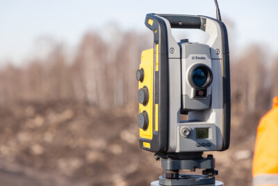
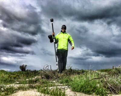
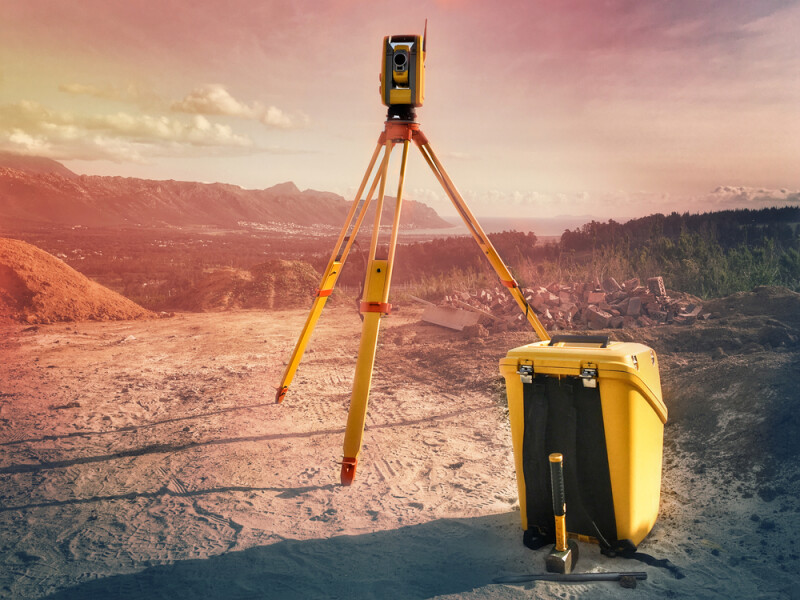
As we start to get into the meat of the report, one of the most interesting pieces of feedback from the respondents was around the equipment they are currently using, and what they would like to be using more in the future. Today, as one would expect, the vast majority of professionals are using a field data collector or computer, as well as a GNSS rover receiver. The industry also skews towards usage of robotic total stations, with 65 percent using those compared to 43 percent using mechanical or conventional total stations and 35 percent using scanning-capable total stations.
Looking to the future, there are two trends that stood out in reading the report. One is around how businesses and professionals are purchasing both their hardware and their software. The vast majority of all categories – hardware, field software, and office software – are purchased to own. At least three-quarters of respondents indicated this was their preferred method of acquisition for each category.
However, Trimble says that their survey data indicates that the industry is moving away from purchasing on the software side and moving towards subscription models, aka software as a service. They say that 24 percent of respondents prefer to subscribe to field software and 36 percent prefer to subscribe to office software. Those are still significantly less than half, and I do wonder how much of that is reflective of the fact that software in nearly all facets of life – professional and personal – are moving toward the subscription model. As it becomes more common throughout other areas of life, it becomes more natural to budget for that methodology.
Along with that is enthusiasm around the use of 3D laser scanners. While growing, still less than half of respondents indicate usage of these tools today, coming in at 41 percent. However, it’s clear that interest in this technology is there, with 39 percent of respondents indicating they would like to do more 3D laser scanning projects in the future. That was by far the most popular answer to the question of which types of surveying projects they’d like to do more of in the future, beating out UAS mapping and topographic and/or design surveys by 15 percentage points. On their list of “five things likely to transform the industry,” continued growth in reality capture is the first point mentioned.

In addition to reality capture, one of the other big themes in this report is the growth around field connectivity. This is an area that is rapidly changing thanks to developments in other industries, and specifically the widening availability of technology like 5G. Today, according to this report, just about half of surveyors connect to the internet in the field at least half of the time, with 26 percent of respondents saying they connect at least 90 percent of the time, and 23 percent saying they do so between 50 and 90 percent of the time.
For those who don’t connect to the internet in the field, they point to the cost of running a hot spot, a lack of service in remote and rural locations, older equipment and software, and security concerns as the biggest barriers holding them back. As connectivity becomes easier thanks to things like the aforementioned 5G as well as growth for companies like Starlink, not only will those barriers go away but there will also be more examples of how much value this kind of near-constant connectivity can provide.
Finally, it goes without saying that any report in the year 2024 will include a section about artificial intelligence. Although there weren’t any published sections of the survey around AI specifically, Trimble did mention it among their aforementioned takeaways, noting that it has played an important role in streamlining workflows like point cloud classification and feature extraction. This is a topic on which we recently published a report of our own, and it’s undeniable that continued improvement in AI will have massive effects on the geospatial industry.
In all, this report paints a promising picture for an already thriving industry, with simpler and more sophisticated ways to collect key data being developed on a regular basis. Trimble sums it up well in the report, writing, “The top takeaway is that now, more accurate data is being collected from more sources, and more complete information is required than ever before. This data revolution is a powerful multiplier, fueling growth across the geospatial industry as well as in the surrounding ecosystem of industries that use the data.”


