Every year, TIME looks back at the entire year of technology across all sectors and hands out their top 200 inventions and innovations of the year. As they explain, they put together the list using nominations from their editorial staff around the world as well as an online application process, and end up with representatives across industries including consumer electronics, beauty, design, food & drink, medical care, and many more. Every year, we see a handful of these inventions and innovations fall into our area of coverage within the geospatial, 3D, and AEC landscapes. Last year, for example, we saw mention of lidar satellite company NUVIEW, NVIDIA NeRF technology, and more.
TIME recently released their 2024 edition of the list, with a plethora of inventions tying back into our coverage. Below, we give a quick highlight of some of those inventions on this year’s list.
X Bellwether
We start with an example of one of the most predominant technologies in the geospatial industry this year, with AI analyzing massive amounts of data for the greater good. This product comes from X, a research facility under the umbrella of Alphabet. Bellwether calls itself “the first prediction engine for Earth and everything on it,” analyzing hundreds of layers of data of all kinds – much of it Earth observation data from space – to help predict natural disasters and simulate potential effects.
SandboxAQ AQNav
GNSS is one of the most important technologies in the geospatial industry, and since the advent of GPS in the consumer space it’s become an integral part of everyone’s daily lives in today’s society. However, GPS-spoofing has become more commonplace in recent years, messing with navigation across the world. AQNav, according to TIME’s entry, “uses quantum magnetometers that track waves from the Earth’s crust, cross-checking them against known maps, thus using AI to pinpoint location reliably without GPS.”
DESI 3D Map of the Universe
This one is a little bit out of the geospatial industry, but certainly borrows some concepts to put them on a larger scale. This is the largest 3D map ever made of the universe, produced by the Dark Energy Spectroscopic Instrument (DESI), providing more clues about the behavior of dark energy and providing new knowledge about the expansion patterns of the universe.
BrainBox AI ARIA
For this entry, we move over to the AEC industry with an innovation that is helping with one of the sector’s biggest issues. That is the monitoring of sustainability, for an industry that is one of the planet’s biggest contributors to carbon emissions. ARIA is an AI platform for the AEC industry that allows its users to automate HVAC optimization. They say that they can slash energy costs by 25 percent and curb greenhouse gas emissions.
GHGSat-C10 ‘Vanguard’
Thanks to improvements in manufacturing and, more importantly, more accessible launches, Earth observation satellites have been developed and launched at a much higher rate than ever before. Here, TIME highlights the ‘Vanguard’ satellite launched by GHG-Sat last November. This satellite uses spectrometry to look for carbon dioxide emissions and leaks at 25-meter resolution. Finding these leaks has always been a problem, but this kind of satellite is a big step in the right direction of better monitoring and detection.
Cavnue Connected and Automated Vehicle Corridor
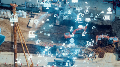
The idea of a smart city has fallen off a bit in the eyes of the general public, but work has been done in a lot of different areas to leverage technology and make life easier and safer for citizens. Transportation has been one of the big areas in which that has happened, particularly with a variety of sensors being used along our roads to monitor traffic and road conditions. This is exactly what is being done by Canvue, who has spent $15 million to install sensors every 200 meters to observe and analyze both road conditions and traffic flows in real time.
Terran Orbital SmallSat GEO
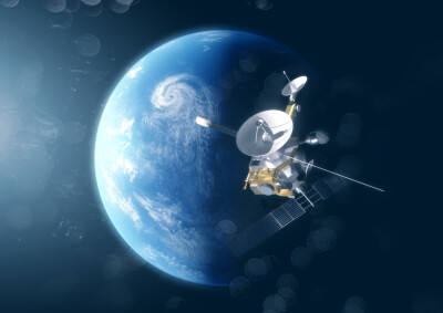
We go back to the satellite well for the final entry we’ll highlight from TIME’s list of 200, this time looking at Terran Orbital’s Geostationary Equatorial Orbit (GEO) satellites. These small satellite solutions are used for a variety of solutions and bring plenty of advantages over traditional, large missions, including lower costs and shorter lead times.


