The geospatial industry touches so many different parts of our lives and is so wide-ranging that it can be a challenge to keep up with all of the various subsections. That is why, every other week, we sweep the internet to find some stories that can highlight where things are in the industry today, ideally in a way that touches all different aspects of the sector. Today, that means highlighting a few of the different sub-industries within geospatial. First, we have an article that outlines how geospatial data such as that collected with mobile mapping is being used to rollout fast internet. Next, we look at the value of aerial mapping for some of the world’s biggest problems. And finally, we have a round-up of some of the big announcements from last month’s Intergeo conference and expo.
Find links to the full articles below.
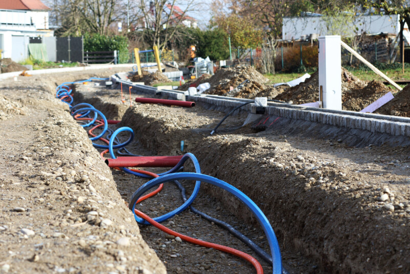
How geospatial data enables the rollout of fast internet
Wim van Wegen | GIM International
Having access to high-speed internet is now a necessity for people in most parts of the world as work, education, and even social activities now are largely dependent on being able to have some connection to an online platform. As such, many local governments are looking to make high-speed internet accessible to all areas of their coverage, something that can often be easier said than done. As this article details, however, geospatial technology – and lidar scans in particular – can play a huge role in increasing that accessibility across all regions.
How Airborne Mapping Helps Solve the World’s Most Pressing Challenges
John Welter and Adina Gillespie | xyHt
While airborne mapping, using either lidar or high-resolution imagery, isn’t really a new technology, but it has improved significantly in recent years. Now, it is more reasonable than ever to collect high-quality data of large-scale areas, which opens up the possibility to solve significant problems all around the world. This article highlights a few examples of this, including creating a digital twin to promote sustainability for a city in the UK, conservation efforts in the Costa Rican rainforest, and more.
INTERGEO 2024: Round-up of product launch news
Spatial Source
As we’ve been covering over the last couple of weeks, the geospatial industry recently came together in Stuttgart, Germany for the annual Intergeo conference and expo. Every year, companies announce and unveil some of their newest products for attendees, and this year was no exception. Here, we have a round-up of some of the biggest launches from the week in Germany.