The geospatial industry touches so many different parts of our lives and is so wide-ranging that it can be a challenge to keep up with all of the various subsections. That is why, every other week, we sweep the internet to find some stories that can highlight where things are in the industry today, ideally in a way that touches all different aspects of the sector. Today, that means highlighting a few of the different sub-industries within geospatial. First, we look at how lidar was utilized to help discover a previously unknown, massive “hidden empire” within ancient Rome. Then, we have an article looking at a potential upcoming clash between drone operators and land surveyors. Finally, we end with a story around the southern border of the United States, looking at border monuments between the U.S. and Mexico.
Find links to the full stories below.
2,000-year-old Roman sites uncovered, ‘hidden empire’ to unlock secrets
Maria Mocerino | Interesting Engineering
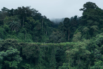
We start with a fascinating story from the world of archeology looking into the Roman empire. There is an area in the southern part of Spain, just north of the Strait of Gibraltar, that had long intrigued archeologists regarding its relation to the Roman empire. The area hadn’t been subject to deep investigation until last year, when a group of researchers began their “intense excavation.” With the help of lidar, they were able to find a much more significant set of settlements than previously believed, pointing to a massive “hidden empire” that had never before been discovered.
Drone Operators vs. Land Surveyors
Juan B. Plaza | xHyt
There are a lot of positives that have come from the relative proliferation and democratization around drone technology and the photogrammetric capabilities that came with that. However, there is a bubbling debate brewing about whether maps created with this technology by these operators, who often do not have the level of training as traditional surveyors, are legal documents. In this article, Plaza highlights this brewing confrontation, looking at some current legal battles that could have big ramifications on the surveying and mapping industry.
Reconnaissance On The Border
C. Barton Crattie, LS, CFS, CFM | The American Surveyor
We end with a fascinating narrative story from Crattie, who took a journey last year across the border between the U.S. and Mexico. He goes into the history of how this border was originally created, and specifically in the late-19th century when monuments were placed by surveyors to mark said border. He highlights the many stops along the border on this journey, including a number of images showing these borders and some of the surrounding areas.