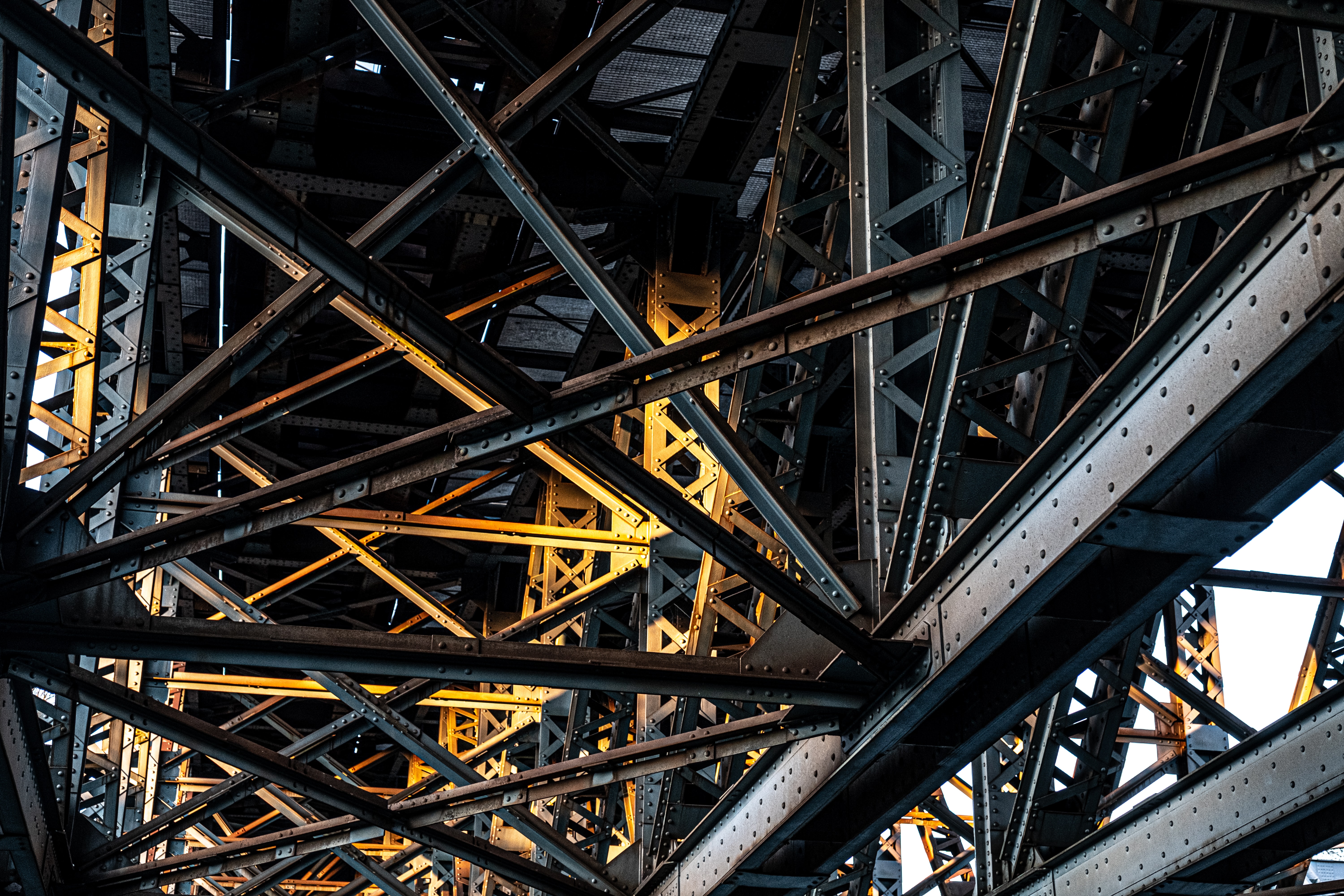
The Jan. 28 collapse of the Fern Hollow Bridge in Pittsburgh - on the day Pres. Biden was visiting to plug his infrastructure plan - made the news for weeks. The Steel City catastrophe cast a spotlight on deteriorating infrastructure throughout U.S. cities, raising questions of what to do with these assets—many of which are in such poor condition that they are unsafe.
Pennsylvania Department of Transportation officials quickly noted that though the bridge had been rated in “Poor” condition, they didn’t expect it to fail, as it did. In Pennsylvania, thousands of bridges are in equally poor condition, PennDOT officials have said.
But with technology available to digitize plans for bridges and other infrastructure, and the bridge collapse evidencing these needs, why aren’t such tools being used? The answer, like the problem, is multi-faceted.
In most places, however, this obvious need for accurate models of infrastructure assets and the available technology to create them haven’t met. While thankfully no one was killed in this particular collapse (though other similar bridge failures have had more tragic losses of life), it is clear that there is no time to waste in tackling these huge infrastructure challenges.
Global Problems
While some might think the issue of failing infrastructure is more of a problem in the Rust Belt of the U.S. and not as bad elsewhere, they’d be wrong. The problem is widespread globally, and a result of the average age of the infrastructure.
“The collapse of the Fern Hollow Bridge is a small part of a problem that could scale out unfortunately really quickly worldwide,” said Andrea Paglialunga, Business Development manager for Geomap, which provides software for managing buildings and city assets including tunnels, bridges, streetlights and more.
“Important components of the bridges are prestressed concrete and steel, and their lifecycle is 50 - 70 years if not properly maintained. The majority of the bridges worldwide were built in the late 1960s. For instance, the Ponte Morandi in Italy was built in 1963, and collapsed in 2018. Inspections and maintenance must happen as soon as possible, and all the processes have to be digitized to keep track of them.”
The collapse of the Fern Hollow bridge is a sobering example of the dire need for digitizing infrastructure assets in the U.S., agreed Ray Steeb, CEO of eFacility LLC, a facility management software firm.
“I was speaking to the MTA in NYC regarding mobile access to digital information,” Steeb explained. “And their story was, ‘...when an over-height truck hits the underside of our bridge, we send an inspector out to ensure everything is okay. Trouble is, we don't provide any information to the inspector on what they should be seeing. They make their evaluation without any information from the MTA. So, it’s their best judgement that the structure is safe.’ I find that problematic.”
With regularly-scheduled digitization efforts, and efforts to make existing data more accessible from field personnel to decision makers, changes could be tracked over time. Is that a new crack? Is that spalling getting worse over time? Did the impact with the vehicle change the angle of the support beam?
However, even with fully digitized infrastructure documents, mistakes can still be made. Scanning a bridge and creating a point-map, for example, might inadvertently include extraneous aspects of the bridge that may actually detract from the map’s usability, like recording a bird’s nest as a point on that map. And overlaying that point-map on a blueprint or BIM model is not always possible. When it is possible, it might not be as effective as some would presume because the points on that map are only as good as the information explaining what they represent.
Reality Bytes
So what is the current state of reality capture efforts for critical infrastructure? Since the technology exists, how many state and local governments are utilizing 3D, drones, LiDAR or other tools for detailed inspection of bridges or other large infrastructure assets?
Not as many as would be hoped for, it seems.
“To be honest, the technology is not there yet,” Steeb said. “Many people will say it is, but when you dive into the details, the technology is only creating better human views of the issues, not using technology to provide the answer.”
“Forget for a moment about the ‘living’ document… there isn't readily available information on the original information regarding the state of the structure,” Steeb said.
“[That information is] somewhere, but try to get to it in a few minutes, or most likely, in a few hours to a few days!”
Part of the larger problem here is a lack of digitization of records, and also lack of a central repository system of blueprints, maintenance records, manuals, and the like. Additionally, many buildings have little or no ‘as built’ documentation, which can differ from the original plans or blueprints significantly as building designs evolved while being constructed. For Kevin Dowling, CEO of Kaarta, the lack of as-built documentation is a problem that is front of mind.
“Pittsburgh has a wide variety of bridge types, which must be inspected with that in mind, since suspension, trusses, etc., may all require different classes of inspection,” says Dowling.
“There is no doubt, though, that the records almost certainly do not reflect the as-built structures. As far as up-to-date digitization, I doubt very much that these exist for all Pittsburgh bridges.”
Evidence of successful efforts to train city department employees on tech where they implement a more cost-effective, accurate and timely way of doing things using 3D mapping or building maintenance software are few and far between. Some cities such as Philadelphia have GIS and BIM groups in the city that are trying to introduce these more modern concepts for everything from structures, planning, water runoff and more, Dowling said.
“There are contractors who have the right tools. I’m not sure that these are all connected in cohesive planning efforts, though,” he said.


