Every week, we highlight stories from friends around the internet that put a spotlight on the latest from within the geospatial, advanced visualization, and AEC industries. These stories can take many different forms, whether they be about a new innovation or workflow, an interesting and/or unique use case for technology, or a higher-level look at the state of the sector. Today, we look at how lidar is being used in Maine’s forest industry, the ways laser scanning can be used to connect the past and the future, and the ongoing evolution around geospatial intelligence.
Find links to the full articles below.
Using the ‘Magic’ of Lidar to Map Maine’s Old-Growth Forests
Jenni Doering | Inside Climate News
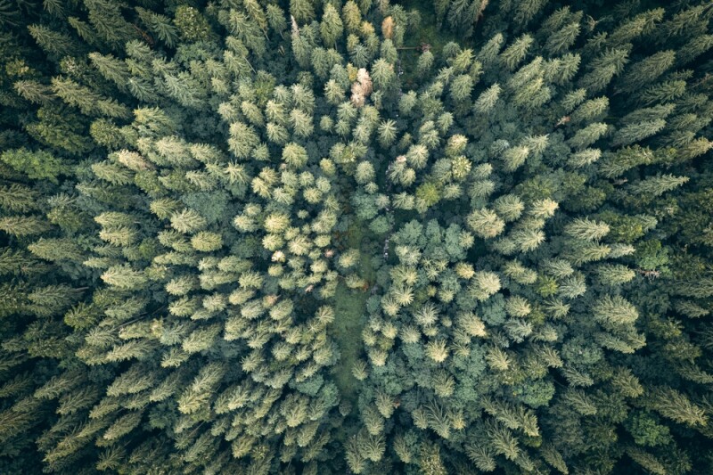
We know that lidar is being used across many different industries, a list that is continuing to grow as the technology becomes more accessible and more professionals find ways it can help their workflows. One of the better examples of the last few years is with forestry, a sector that is using lidar both at smaller scales to learn more about individual trees and at larger scales to gain insights into full forests. This article highlights a use case in the latter bucket, with a climate-focused nonprofit using lidar to find bathes of biodiverse old-growth forests.
From Alcatraz to the Maya to Notre-Dame Cathedral and Beyond
Walter Lappert | Lidar Magazine
One of the most powerful uses of reality capture is to give us a better understanding of the past, with laser scanning’s ability to capture a nearly flawless as-is condition of a structure. That can be an old cathedral, like Notre Dame, or ancient Mayan structures deep under the Central American jungle. This article looks at a few different examples of how this technology has been able to provide “a fuller picture of the past and help stabilize and modernize for centuries to come.”
A Super Intelligent Future for Geospatial Technologies
Rajanikanth Muppalla | Geospatial World
Geospatial data has been at the center of human civilization for centuries, essentially since we as a species began mapping the world around us to better understand our universe. Even as such an old space, it is also on the cutting edge, and we are seeing that today. As artificial intelligence and machine learning take over the business world as a whole, the geospatial industry is at the forefront of using these tools to help parse the massive amounts of valuable data within. This article looks at how today’s new technologies, and others coming in the future, are and will transform the geospatial industry at large.


