One of my favorite shows right now among those currently in the midst of their runs is For All Mankind, an original series streaming on Apple TV+. (There will be some light spoilers below.) The show presents an alternate history in which the Soviet Union beats the United States in the race to the moon, which ultimately motivates the U.S. to dedicate more funding and efforts into their space program. The result is a reality with a much more significant presence in space, with effects felt both at home and in the cosmos.
The show has an extremely dedicated following for a variety of reasons, most of which come down to entertainment value more than anything else. However, another big part of it is the natural desire to dream of exploring among the stars, something that has been a core component of the human experience dating back to prehistoric times. We have, of course, been to space, but our exploration reaching beyond the moon – and recently, even on the moon – has been lacking compared to humanity’s dreams.
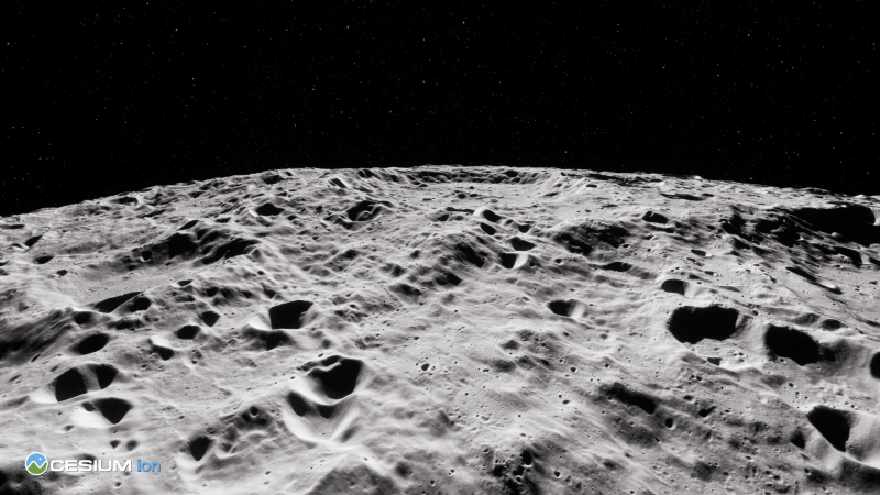
I’ve been thinking about this show over the last week or so due to last week’s announcement of Cesium Moon Terrain. Originally a project completed to support NASA’s Artemis mission, along with other international space agencies, the dataset is now readily available to anyone who wants to use it, making it – according to the company’s release – the “first readily available single comprehensive precise 3D dataset of the moon.” You can read more about the release in the link above, but the dataset is comprised of terrain and imagery from NASA’s Lunar Reconnaissance Orbiter (LRO) program along with some other sources, and is provided as 3D Tiles.
Even before the release was made public, some early adopters have already shown how they think it can be used. In the press release, Cesium pointed to Ansys and Buendea as two companies who have found early uses. The former is using Cesium Moon Terrain in conjunction with their RF Channel Modeler to understand the impacts introduced by challenging lunar locations, while the latter is developing the XR Operations Support System – along with the NASA Advanced Operations Concept Lab – to support real-time simulations on the Moon and Mars.
And just as humans have always imagined life on the stars, it’s hard for me to not see this release and imagine what it means for the future. I don’t want to overstate this release, of course. Cesium Moon Terrain on its own is not going to immediately spark a new era in space exploration – I don’t think Cesium themselves would claim that. But this kind of technology that is built upon tools meant for entirely different use cases has real potential to provide key capabilities that can be a key stepping stone on our further exploration of the cosmos.
Two types of use cases come immediately to mind, building off of what is being done by the aforementioned early adopters. First, this kind of accurate terrain modeling opens up all kinds of simulation possibilities that wouldn’t have been available without this kind of tool. As space agencies look to explore parts of the moon to which we have not yet physically reached, or even down the line looking for a place to set up a research hub or settlement of some sort, being able to have this physically realistic dataset on which to base simulations will be key to maximize preparations.
Even from a bit of a more indirect angle, the ability to create accurate virtual reality experiences could spark a renewed interest in space among the next generation. While it’s human nature in many ways to be intrigued by outer space regardless of our technology here on Earth, being able to be “placed” on the Moon – particularly at a young age – could take that enthusiasm to the next level. Even non-VR experiences like this one with a moon rover driving around accurate moon terrain can unlock that kind of excitement.
To bring it back to For All Mankind, that universe ultimately creates a research settlement on the Moon which ultimately serves as a fueling hub for travel to Mars. We are, of course, not even close to that point – that’s why the show is fiction, after all. But while the progress might not be as drama-filled as that fictionalized television show, it’s hard not to be excited about what the future holds when Earth-bound tools like accurate terrain depiction in 3D are being applied beyond our atmosphere and into outer space.


