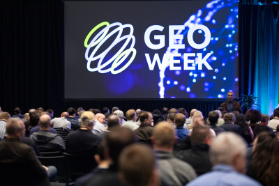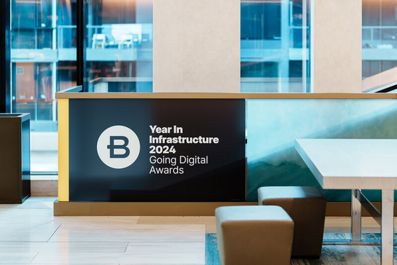
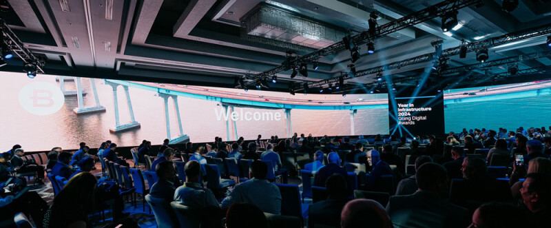
Last week in Vancouver, Canada, Bentley Systems held their annual Year in Infrastructure outing. The two-day event, which rotates through different cities every year, includes their Going Digital Awards as well as a one-day conference program featuring Bentley executives giving presentations and panel discussions with Bentley customers. The first day is all about the Going Digital Awards, with three finalists in each of the 12 categories giving final presentations before three jurors pick winners for each category. (The author of this article was a juror for the surveying and monitoring category.) That’s followed by a day of presentations and panels, with the event closing Wednesday night with a dinner honoring the winners from each category.
It’s always a fascinating event that shows off how the most cutting-edge firms around the world are utilizing technology for increasingly crucial infrastructure projects of all types and sizes. Below you can find our five takeaways from the 2024 edition of Bentley’s Year in Infrastructure event.
Bentley Systems’ Evolution
For the most part our takeaways are going to focus on the infrastructure space as a whole, using Bentley’s customers and products as a proxy, but it’s hard to ignore the Bentley of it all for the week. This year, that awareness of Bentley’s presence in the industry was even more heightened given some special anniversaries. This year marks 40 years since brothers Greg and Keith Bentley founded the software company, and it was also the 20th anniversary of their first Going Digital Awards. To celebrate the occasion, they started Wednesday’s presentations with a run through the company’s evolution, starting with the bringing of CAD software to engineers around the world to their current focus on living digital twins.
In addition to the celebrations of anniversaries, it was also a bit of a new look for the company at the top of the organization after some key retirements over the last 18 months or so. First, the aforementioned co-founder and long-time CTO Keith Bentley retired, leaving the CTO mantle to Julien Moutte. (Geo Week News spoke with Bentley shortly after his retirement was announced.) Then, more recently, brother Greg, who had served as CEO, announced his retirement, with Nicolas Cumins officially taking over that mantle on July 1 of this year. Coincidentally, the second day of this year’s Year in Infrastructure represented his 100th day in the position.
With those major changes, both Moutte and Cumins took center stage for the second day’s presentations, paying homage to what came behind them along with plenty of excitement about what’s coming next. In all, it truly felt like a passing of the torch taking place this week, with Bentley entering its next phase as a company.
AI and Automation
Speaking of the next phase for the company, it’s clear that automation and leveraging artificial intelligence is going to be a big piece of that. Of course, this is not really unique to Bentley Systems, as nearly every company in every industry is currently trying to figure out how they’re going to use this technology to their advantage. Last week, there was plenty of talk about the need for this kind of technology within the infrastructure space. Given the issues that we’ve talked about endlessly here at Geo Week News – including increasing urbanization, aging infrastructure, and shrinking workforces – as well as the sheer amount of data that is creating the digital twins in which Bentley specializes, AI is a necessity at this point.
One of the biggest announcements from the company throughout the week, in fact, was around the implementation of generative AI into their offerings with the introduction to OpenSite+. The offering is not yet fully released – though interested parties can sign up for the early access program today – but attendees got a quick demo of how the product works, leveraging in-house large-language models (which speeds up the responses while keeping data secure, according to Bentley) to quickly complete some tedious tasks in the site design workflow.
Cultivating Openness
Looking at things from a bit of a higher level, one of the biggest keywords that was thrown around throughout the week was “openness.” This, of course, has long been part of Bentley’s ethos, even before this change in leadership, and it’s been made clear that it is not going away. Throughout their presentations, they talked about the importance of maintaining an open ecosystem and leaning on things like APIs to give the industry the maximum benefit.
This focus on openness was hammered home even more prior to the event, with the acquisition of 3D geospatial company Cesium back in September. More recently, at this year’s event, they announced a strategic partnership with Google as well. Cesium, founded by Patrick Cozzi, has long been built around the idea of creating an open community with the geospatial industry, and that attitude is now being brought into infrastructure as well. There is, of course, benefit to Bentley with this attitude, as they are able to focus on the things at which they excel and leave some other capabilities to partners and others, but this is a trend we have seen across industries and Bentley doubled down on their commitment to the idea at the event.
Bringing All Data Together
A trend that we’ve seen across the geospatial and AEC industries with respect to creating digital twins – or reality models – is the growing ability and willingness to take data from a variety of sources and seamlessly connect them into a single model. With advancements in sensors and SLAM algorithms allowing for better UAV-based data capture as well as on-the-ground mobile mapping, these methods of collecting data have grown in popularity alongside traditional terrestrial scanning.
Now, with software including that from Bentley, bringing all of that data together and making a spatially accurate model from it is easier from ever. Throughout the finalist presentations at the first day of the event, attendees saw plenty of examples of this combination of data in the projects. For the surveying and monitoring category, for example, the winning project included data collected via drone, wearable mobile scanning, and tripod-based terrestrial scanning, all coming together for a multi-purpose digital twin of a historically significant water supply building in Hong Kong.
Keeping an Eye on the Greater Good
As we alluded to above, the need for infrastructure around the world is very real, with more people than ever moving to cities and our current infrastructure beginning to age out. What was made clear throughout this event, though, was that simply building and maintaining said infrastructure isn’t the entire story. It’s important to consider all of the other factors that could be affected by any project, including not only the environment but also surrounding communities.
This was discussed throughout both days of the event, with many of the finalists discussing how they interacted with the surrounding community to ensure that any projects were limited in their disruption of the areas. And of course, sustainability and effects on the environment were also front of mind. To that end, Bentley also unveiled their new Carbon Analysis tool within iTwin, giving designers a running tally of the embodied carbon in their projects as it’s coming together to ensure those factors are always front-of-mind.