It’s an obvious statement to make saying that humans can much more easily interpret and analyze any sort of visual data if it’s represented in three dimensions versus only two. It’s the way we see the world naturally, of course, so it almost goes without saying that we make better decisions when 3D is the default over 2D. Of course, for a long time due to technological shortcomings, it’s only been possible to represent most things in two dimensions, and we’ve had to make due. Now, however, 3D visualizations are more advanced than ever and available for so many use cases, from helping with upkeep of cultural buildings, to inspecting crucial infrastructure, and even just immersing ourselves within realistic environments for entertainment purposes.
There are different ways to create these environments, be it from data collected in the real-world or realistic renderings created digitally, but every day we see more fascinating examples of this phenomenon in the real world. Today, we are highlighting some of these use cases from different parts of the world in stories shared by friends around the industry. We have a story about a team of researchers working on a digital preservation project for one of the most culturally important buildings in Nepal. Then, we look at some best practices and insights for utilizing digital twins in the oil and gas sector. Finally, we have another story regarding the oil and gas industry, but this one looking at the process of collecting that 3D data. Find the full articles below.

Tar Heel team begins preservation of ancient Nepal temple
Jim Mahaney | University of North Carolina
Here we have a look at a project from UNC’s College of Arts and Sciences, where a group from the religious studies and computer science departments are in Nepal for a digital preservation project. The group started the project recently to create an accurate 3D model of the Swayambhu Temple and the surrounding complex, one of 10 UNESCO World Heritage sites in Nepal. This article delves into the techniques the team used to collect the data, some of the stories from that process, and some of the ultimate end goals.

Navigating Business Transformation with Digital Twins in Oil and Gas — A Strategic Framework
Kelly Watt | Innovate Energy
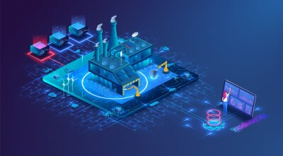
At this point it’s probably unfair to say that the term “digital twin” is simply a buzzword, as there are already plenty of real-world examples of these tools being applied in tangible ways with notable results. That said, digital twins are still far from ubiquitous across any industry, and the fact is that some companies and organizations may want to utilize one for their work but don’t know where to start. This article is highlighting that potential problem specifically for the oil and gas industry. Watt runs through some best practices and key insights for those in this industry who may want to get started using digital twins to streamline their workflows.

Drone based LiDAR survey of Oil & Gas assets in the jungle of Gabon
Lidar News
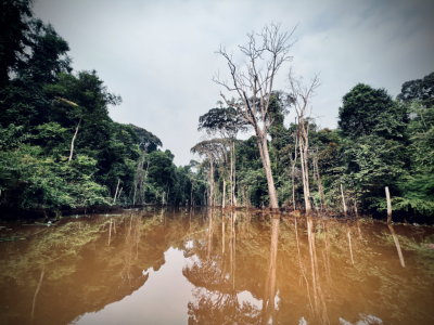
Piggybacking off the previous article, in order to create those valuable digital twins you generally need to start with accurate spatial data for your existing systems. Collecting that data, however, can be easier said than done in many parts of the world. In parts of Africa, for example, these are in remote locations that are difficult to have surveyed, but recent innovations are helping to change that. This article highlights work done by 3DroneMapping in Gabon to perform a comprehensive survey of assets in remote parts of the country.


.jpg.small.400x400.jpg)

