As we mention frequently in this space, our coverage of the 3D technology industry features many different angles, as it is a sector with a number of different tools and use cases, producing a variety of fascinating stories. This week, we’re looking at three specific case studies showcasing these different angles. We have an article looking at how a factory is using digital twins to streamline their operations, how handheld 3D scanners are being used to help people in Rwanda, and a mobile mapping operation on railways in the United Kingdom.
Find links to the full stories below.
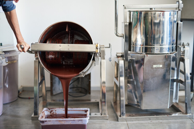
Glasgow Fudge Maker Embraces Digital Twin Technology
Graham Turner | DIGIT News
As digital twins become more of a reality and something that is providing tangible value to companies, some of the earliest adopters we’ve seen are with factories and other large facilities. Generally, this has been in industries where you might expect to see this kind of cutting edge work, as with new automotive factories trying to adjust to new electric vehicle needs as well as data centers. This story highlights how a confectionary factory in Scotland is using digital simulations to optimize their production.
Transforming Lives With 3D Scanning in Rwanda
Artyom Yukhin | Quality Digest
Artec 3D is a manufacturer of handheld 3D scanning systems, and we’ve covered a few different ways their tools have been used both in helping preserve culturally important buildings and other assets in Ukraine, as well as to help monitor coral reefs. This article highlights yet another way this technology is being used, this time in Rwanda to scan people. Specifically, the company is working with Handicap International to help manufacture custom prosthetics for refugees and others in the nation.
3D laser scanning for land surveying can help map the UK’s ageing rail network
Pbc today
Finally, we head over to the United Kingdom yet again, this time focusing on a use case around the country’s rail system. The system, as one would expect given its advanced age, is starting to demand maintenance, which is a tough task for such a large series of rails. Mobile mapping and terrestrial laser scanning is being used to assist in this large project and helping to keep these railways usable.