As we discuss in this space, and plenty of other spaces throughout the Geo Week News website, there are a number of different use cases for reality capture and a myriad of industries which can benefit from this data. Today, as we look around the 3D technology industry with articles from around the sector, we’ll focus on a couple in particular – transportation, and data centers. Each of these industries are changing tremendously, with the former having long been in existence but shifting in ways really never before seen, while the latter is a burgeoning space given all of our data consumption needs.
For our first article, we look at the ways that a new 3D mapping technique can be used to improve navigation for autonomous vehicles. Then, we stick with the transportation sector with another article focusing on mobile mapping and how that has helped to transform transportation infrastructure. And finally, we shift over to data centers with a look at the use of digital twins within that space.
Find links to the full articles below.
3D-mapping technique could improve navigation for autonomous vehicles
The Engineer
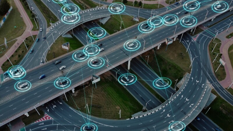
First up, we have a new article from The Engineer highlighting a new technique developed by a team of researchers from North Carolina State University. The technique, as described in the article, purports to allow “AI programs to better map 3D spaces using 2D images captured by multiple cameras.” The article goes on to explain that this technique could be particularly fruitful for autonomous vehicles because it is able to work effectively with “limited computational resources.” They further explain how this technique works, including quotes from Tianfu Qu, an author of the original paper.
The transformative power of mobile mapping for transportation infrastructure
Raphael Goudard | GPS World
For our second article, we stick with the transportation industry but move away from autonomous vehicles and focus more on the broader infrastructure of transportation as a whole. Specifically, this article looks at the recent improvements in mobile mapping and how that is affecting this space. While mobile mapping is not exactly a new technology, advancements over the last couple of years have led to a boom in conversation around the tools and how they can be used. This article shares how mobile mapping can benefit the space in comparison to more traditional technologies, including real-world examples, and a little about the future of the space.
Leveraging Digital Twin Technology for Sustainable Data Center Performance
Dave King | Data Center Frontier
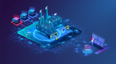
Recently at Geo Week News, we covered how digital twins can be leveraged in the construction and operation of data centers to ensure sustainable practices. These structures are crucial for today’s economy as companies are looking to quickly build up spaces for all of their growing data needs, a trend that is only continuing as the AI boom continues. This article builds off of those thoughts from the perspective of a provider of this technology, outlining the key capabilities provided by digital twins that can prove crucial for this specific space.


